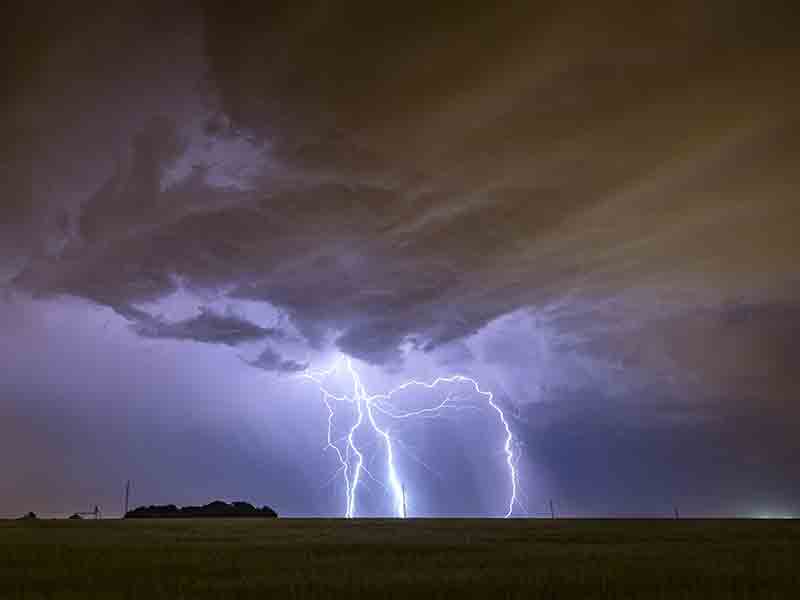
Flood Watch
* WHAT…Flooding caused by excessive rainfall continues to be
possible.
* WHERE…A portion of Middle Tennessee, including the following
counties, Cheatham, Clay, Davidson, Dickson, Hickman, Houston,
Humphreys, Jackson, Lewis, Macon, Maury, Montgomery, Perry,
Pickett, Robertson, Rutherford, Smith, Stewart, Sumner, Trousdale,
Wayne, Williamson and Wilson.
* WHEN…Through Sunday morning.
* IMPACTS…Flooding may occur in poor drainage and urban areas.
Low-water crossings may be flooded. Storm drains and ditches may
become clogged with debris. Extensive street flooding and flooding
of creeks and rivers are possible. Area creeks and streams are
running high and could flood with more heavy rain.
* ADDITIONAL DETAILS…
– Several rounds of showers and thunderstorms are forecast
across portions of Middle Tennessee through Sunday morning,
producing locally heavy rainfall across already saturated
soils. Flooding and flash flooding is possible, including
rises on streams and rivers.
– http://www.weather.gov/safety/flood
You should monitor later forecasts and be alert for possible Flood
Warnings. Those living in areas prone to flooding should be prepared
to take action should flooding develop.
Weather Alerts
Attention, Nashville residents! Conditions are being closely monitored as severe weather progresses. A Flood Watch is in effect, and we encourage everyone to stay tuned for further updates. Remain weather aware, especially if you live in areas prone to flooding.
Severe Weather in Nashville
It’s currently 4:10 AM in Nashville, TN, with temperatures at a warm 75°F, but severe weather looms overhead. The air feels heavy with 69% humidity, making it a muggy morning. Winds are calm, offering little relief from the sticky atmosphere. The sky is cloaked in ominous clouds, hinting at the storms that are expected to roll in soon.
Weather Changes Coming
Prepare for significant shifts as more thunderstorms are forecasted, bringing heavy rain over the next several hours. As the rain intensifies, the humidity will create a thick blanket of moisture, making it feel oppressively warm outside. The calm winds will soon transition as the storms take hold, adding pressure to the already steamy environment.
Important Weather Alerts
Over the next 24 hours, expect rounds of heavy rainfall that could lead to flooding in urban and low-water crossing areas. The atmosphere will be charged with energy, and the storm system is likely to produce locally heavy downpours, adding to our already saturated ground. Stay safe by monitoring conditions and be prepared to take action if flooding begins to affect your area.
L:68°
24-Hour Forecast
|
52°
|
39°
|
31°
|
31°
|
46°
|
47°

