
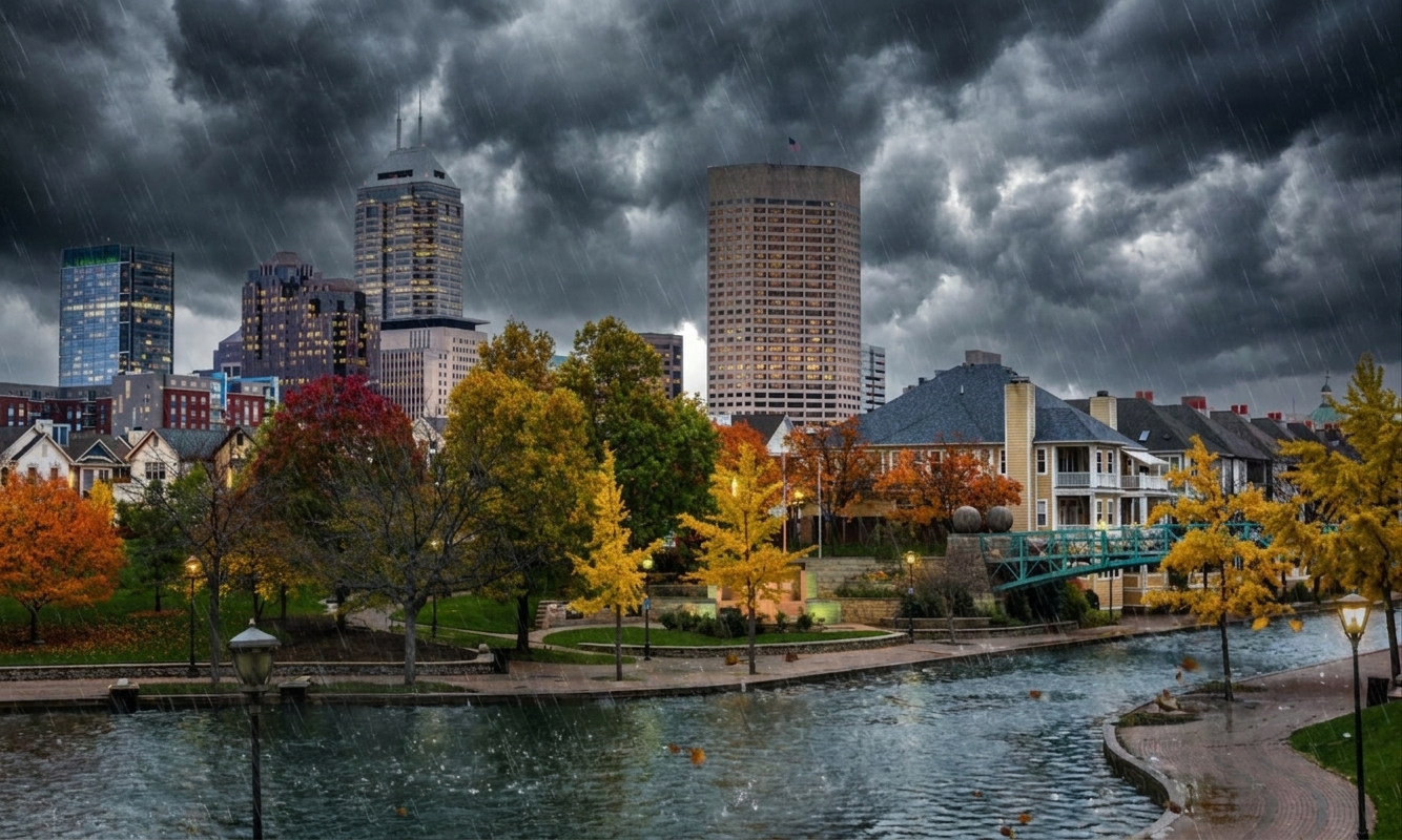
At 1256 PM CDT, trained weather spotters reported flash flooding across the warned area. Between 3 and 5 inches of rain have fallen. The expected rainfall rate is 2 to 3 inches in 1 hour. Additional rainfall amounts up to 1 inch are possible in the warned area. Flash flooding is ongoing or expected to begin shortly.
HAZARD…Flash flooding caused by thunderstorms.
SOURCE…Trained spotters reported.
IMPACT…Flash flooding of small creeks and streams, urban areas, highways, streets and underpasses as well as other poor drainage and low-lying areas.
Some locations that will experience flash flooding include… Bartlett, Collierville, Germantown, Millington, Cordova, Memphis, Lakeland, Arlington, Ellendale, Frayser, Midtown Memphis, Eads, Downtown Memphis, Elmore Park, Spring Lake, Raleigh, White Station, Lucy, Brunswick and Lenow.
* WHAT…Urban and small stream flooding caused by excessive rainfall continues.
* WHERE…Portions of East Arkansas, including the following county, Crittenden and West Tennessee, including the following counties, Fayette and Shelby.
* WHEN…Until 145 PM CDT.
* IMPACTS…Minor flooding in low-lying and poor drainage areas. Ponding of water in urban or other areas is occurring or is imminent.
* ADDITIONAL DETAILS… – At 1126 AM CDT, Doppler radar indicated heavy rain due to thunderstorms. This will cause urban and small stream flooding. Between 2 and 4 inches of rain have fallen. – Additional rainfall amounts up to 2 inches are expected over the area. This additional rain will result in minor flooding. – Some locations that will experience flooding include… Bartlett, Collierville, Germantown, West Memphis, Millington, Cordova, T O Fuller State Park, Memphis, Lakeland, Arlington, Somerville, Eads, Ellendale, Southeast Memphis, Frayser, Midtown Memphis, Downtown Memphis, Whitehaven, Southwest Memphis and Lagrange. – http://www.weather.gov/safety/flood
Severe Flash Flood Warning is in effect until 7:00 PM today.
At 1:15 PM, Bartlett is experiencing overcast conditions with a temperature of 75.2°F. The wind is blowing at 7 mph, and there has been no recorded precipitation so far. Today’s forecast anticipates a high of 83.7°F, with possible peaks in wind speeds reaching up to 12.4 mph, and a precipitation chance of 57%. Thunderstorms are expected to develop as the day progresses.
This evening, the temperature is anticipated to drop to a low of 76.1°F. Winds will remain moderate, reaching up to 8.1 mph. The chance of precipitation decreases slightly to 37%, with conditions expected to become partly cloudy during the night.
A Severe Flash Flood Warning has been issued, beginning at 5:56 PM and lasting until 7:00 PM. Trained weather spotters have reported flash flooding in the area, with rainfall amounts between 3 and 5 inches already fallen. The expected rain rate is alarming, with forecasts suggesting an additional 2 to 3 inches in just one hour, along with the potential for up to 1 inch more. Residents should be mindful of the ongoing hazardous conditions caused by thunderstorms, as flash flooding is occurring or may soon begin. Additionally, a Minor Flood Advisory is in place, underscoring the seriousness of the situation as heavy rainfall continues.
Today's Details
7-Day Forecast
| Day | High | Low | Conditions |
|---|---|---|---|
| Friday | 84°F | 73°F | Thunderstorm: slight or moderate |
| Saturday | 92°F | 73°F | Rain showers: moderate |
| Sunday | 82°F | 71°F | Rain: slight |
| Monday | 70°F | 66°F | Overcast |
| Tuesday | 82°F | 63°F | Overcast |
| Wednesday | 89°F | 68°F | Thunderstorm: slight or moderate |
| Thursday | 91°F | 77°F | Drizzle: moderate |