
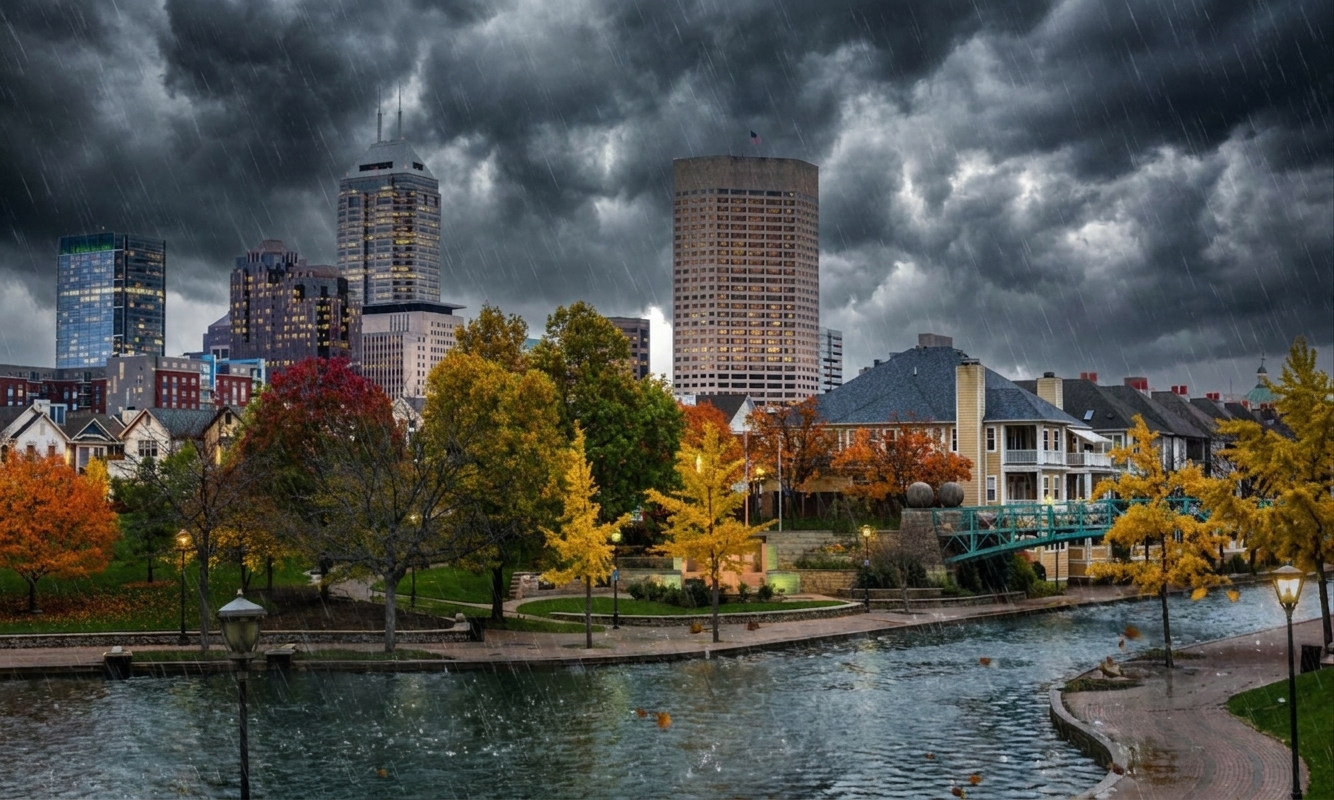
At 220 PM CDT, trained weather spotters reported flash flooding across the warned area. Between 3 and 5 inches of rain have fallen. Flooding impacts will continue, but no additional rainfall is expected.
HAZARD…Flash flooding caused by thunderstorms.
SOURCE…Trained spotters reported.
IMPACT…Flash flooding of small creeks and streams, urban areas, highways, streets and underpasses as well as other poor drainage and low-lying areas.
Some locations that will experience flash flooding include… Bartlett, Collierville, Germantown, Millington, Cordova, Memphis, Lakeland, Arlington, Ellendale, Frayser, Midtown Memphis, Eads, Downtown Memphis, Elmore Park, Spring Lake, Raleigh, White Station, Lucy, Brunswick and Lenow.
Severe Flash Flood Warning in effect until 3:00 PM for Bartlett.
At 2:59 PM, Bartlett is experiencing overcast skies with a temperature of 74.7°F and light winds from the southeast at 6.7 mph. The area has received no precipitation thus far today. However, with a high of 81.3°F expected, conditions remain unstable, and residents should prepare for potential thunderstorms later in the day.
Looking ahead, tonight’s low will settle around 73.6°F with winds picking up slightly to 8.7 mph. The chance of precipitation decreases to 25%, but the lingering overcast may still contribute to damp conditions. Earlier today, up to 5 inches of rain fell due to the thunderstorms, which have already led to flash flooding in small creeks, urban areas, and onto the roadways.
The active Severe Flash Flood Warning is causing concern as impacts from flooding continue. Trained weather spotters have reported significant rainfall in the area. While no additional rain is predicted, the risk remains elevated for urban flooding and difficult driving conditions. Residents are advised to stay alert and heed any updates as conditions evolve through the afternoon.
Today's Details
7-Day Forecast
| Day | High | Low | Conditions |
|---|---|---|---|
| Friday | 81°F | 69°F | Thunderstorm: slight or moderate |
| Saturday | 92°F | 72°F | Rain showers: moderate |
| Sunday | 82°F | 71°F | Rain: slight |
| Monday | 70°F | 66°F | Overcast |
| Tuesday | 82°F | 63°F | Overcast |
| Wednesday | 89°F | 68°F | Thunderstorm: slight or moderate |
| Thursday | 91°F | 77°F | Drizzle: moderate |