
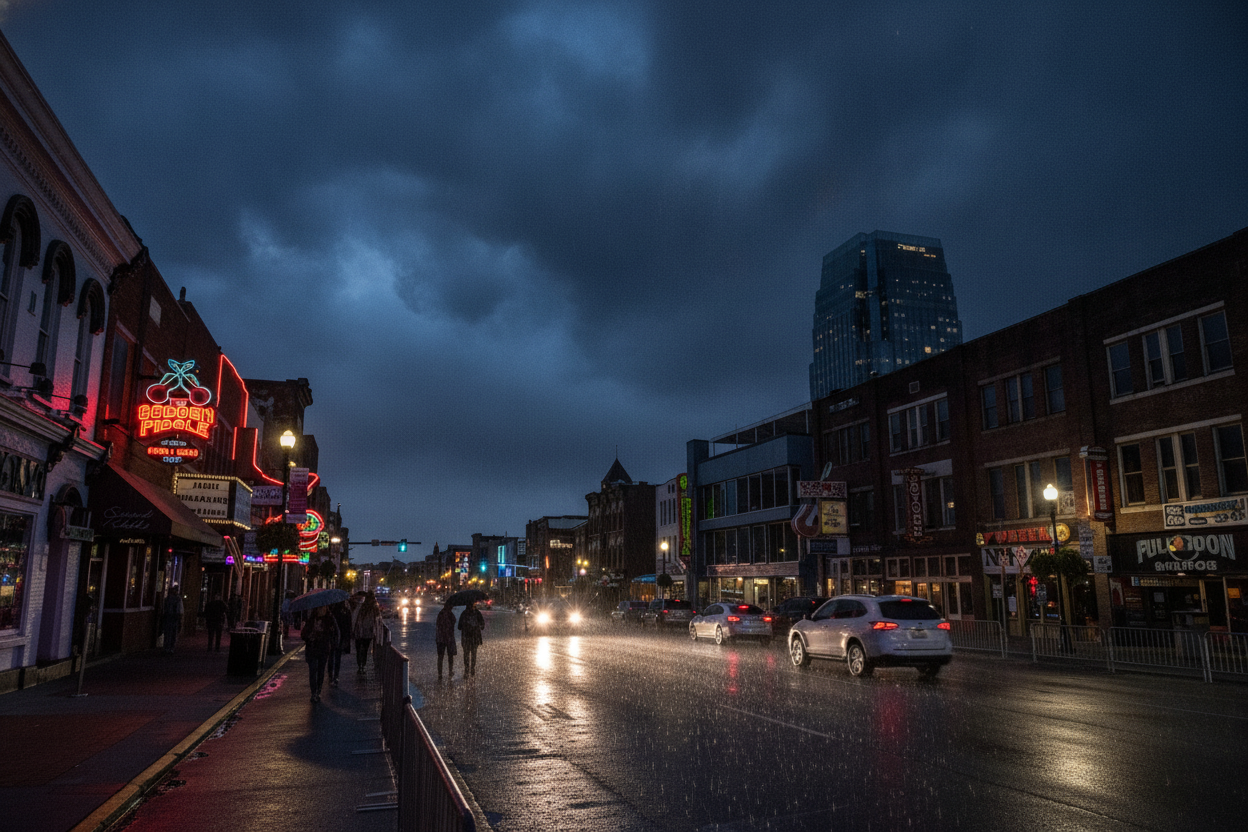
* WHAT…East winds 15 to 25 mph with gusts up to 45 mph expected.
* WHERE…A portion of Middle Tennessee.
* WHEN…From 4 AM to 8 PM CDT Saturday.
* IMPACTS…Gusty winds will blow around unsecured objects. Tree limbs could be blown down and a few power outages may result.
* WHAT…Flooding caused by excessive rainfall continues to be possible.
* WHERE…A portion of Middle Tennessee, including the following counties, Bedford, Cheatham, Coffee, Davidson, Dickson, Giles, Grundy, Hickman, Humphreys, Lawrence, Lewis, Marshall, Maury, Perry, Rutherford, Wayne and Williamson.
* WHEN…From late tonight through Sunday morning.
* IMPACTS…Excessive runoff may result in flooding of rivers, creeks, streams, and other low-lying and flood-prone locations. Low-water crossings may be flooded.
* ADDITIONAL DETAILS… – Remnants of Hurricane Isaias will move north and bring periods of heavy rain to Middle Tennessee. Widespread totals of 1-3" of rain are expected with locally higher amounts possible.
Http://www.weather.gov/safety/flood
A Moderate Flood Watch is in effect for portions of Middle Tennessee, including Davidson County, from late tonight through Sunday morning.
As of 8:35 PM, the temperature in Nashville is 69.6°F, with winds from the southeast at 5.3 mph. Conditions are currently overcast, and there has been no recorded precipitation today. Earlier, the high reached 84.4°F, while the low was 51.8°F.
Tonight, temperatures will drop to a low of 65.3°F. Winds are expected to increase slightly, reaching up to 5.6 mph. There remains a low chance of precipitation at 1%, and overcast skies will continue.
The issued flood watch indicates that flooding due to excessive rainfall is possible across the region, with concerns about excessive runoff affecting local areas. Residents should remain alert and prepared for potential flooding impacts.
Today's Details
7-Day Forecast
| Day | High | Low | Conditions |
|---|---|---|---|
| Friday | 84°F | 52°F | Overcast |
| Saturday | 67°F | 60°F | Rain: moderate |
| Sunday | 72°F | 61°F | Rain: moderate |
| Monday | 86°F | 63°F | Overcast |
| Tuesday | 87°F | 65°F | Clear sky |
| Wednesday | 89°F | 69°F | Drizzle: dense |
| Thursday | 89°F | 69°F | Drizzle: dense |